JAMAICA
Geography: Jamaica is an island in the West Indies, 90 mi (145 km) south of Cuba and 100 mi (161 km) west of Haiti. It is a little smaller than Connecticut. The island is made up of coastal lowlands, a limestone plateau, and the Blue Mountains, a group of volcanic hills, in the east.
Government: Constitutional parliamentary democracy.
History: Jamaica was inhabited by Arawak Indians when Columbus explored it in 1494 and named it St. Iago. It remained under Spanish rule until 1655, when it became a British possession. Buccaneers operated from Port Royal, also the capital, until it fell into the sea in an earthquake in 1692. Disease decimated the Arawaks, so black slaves were imported to work on the sugar plantations. During the 17th and 18th centuries the British were consistently harassed by the Maroons, armed bands of freed slaves roaming the countryside. Abolition of the slave trade (1807), emancipation of the slaves (1833), and a drop in sugar prices eventually led to a depression that resulted in an uprising in 1865. The following year Jamaica became a Crown colony, and conditions improved considerably. Introduction of bananas reduced dependence on sugar.
On May 5, 1953, Jamaica gained internal autonomy, and, in 1958, superheaded the organization of the West Indies Federation. A nationalist labor leader, Sir Alexander Bustamente, later campaigned to withdraw from the federation. After a referendum, Jamaica became independent on Aug. 6, 1962. Michael Manley, of the socialist People's National Party, became prime minister in 1972.
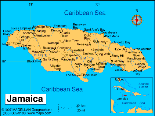
Map of Jamaica
Sovereign: Queen Elizabeth II
(1952)
Governor-General: Patrick Allen
(2009)
Prime Minister: Portia Simpson-Miller
(2012)
Land area: 4,181 sq mi (10,829 sq km);
total area: 4,244 sq mi (10,991 sq km)
Population (2014 est.): 2,930,050
(growth rate: 0.69%); birth rate: 18.41/1000; infant mortality rate:
13.69/1000; life expectancy: 73.48
Capital and largest city (2011 est.):
Kingston, 571,000
Monetary unit: Jamaican dollar
Languages:
English, Jamaican Creole
Ethnicity/race:
black 92.1%, mixed 6.1%, East Indian 0.8%, other 0.4%, unspecified 0.7% (2011 est.)
Religions:
Protestant 64.8% (includes Seventh Day Adventist 12.0%,
Pentecostal 11.0%, Other Church of God 9.2%, New Testament Church of
God 7.2%, Baptist 6.7%, Church of God in Jamaica 4.8%, Church of God of
Prophecy 4.5%, Anglican 2.8%, United Church 2.1%, Methodist 1.6%,
Revived 1.4%, Brethren .9%, and Moravian .7%), Roman Catholic 2.2%,
Jehovah's Witness 1.9%, Rastafarian 1.1%, other 6.5%, none 21.3%,
unspecified 2.3% (2011 est.)
National Holiday:
Independence Day, August 6
Literacy rate: 87% (2011 est.)
Economic summary: GDP/PPP (2013
est.): $25.13 billion; per capita $9,000. Real growth rate:
0.4%. Inflation: 9.4%. Unemployment: 16.3%. Arable
land: 10.92%. Agriculture: sugarcane, bananas, coffee,
citrus, yams, ackees, vegetables; poultry, goats, milk; crustaceans,
mollusks. Labor force: 1.261 million; agriculture 17%,
industry 19%, services 64%. Industries: tourism,
bauxite/alumina, agro processing, light manufactures, rum, cement,
metal, paper, chemical products, telecommunications. Natural
resources: bauxite, gypsum, limestone. Exports: $1.775
billion (2013 est.): alumina, bauxite, sugar, bananas, rum,
coffee, yams, beverages, chemicals, wearing apparel, mineral
fuels. Imports: $5.559 billion (2013 est.): food and
other consumer goods, industrial supplies, fuel, parts and
accessories of capital goods, machinery and transport equipment,
construction materials. Major trading partners: U.S., Canada,
China, Netherlands, Trinidad and
Tobago, Venezuela, Mexico, Slovenia, UAE (2012).
Member of Commonwealth of Nations
Communications: Telephones: main lines
in use: 265,000 (2011); mobile cellular: 2.665 million (2009).
Broadcast media: 3 free-to-air TV stations, subscription cable services, and roughly 30 radio stations (2013). Internet
hosts: 3,906 (2012). Internet users: 1.581 (2009).
Transportation: Roadways: 22,121 km (includes 44 km of expressways). Ports and terminals: Discovery Bay (Port Rhoades), Kingston, Montego Bay, Port Antonio, Port Esquivel, Port Kaiser, Rocky Point. Airports: 28 (2013
est.).
International disputes: none.
-------------------- o --------------------
No comments:
Post a Comment