KENYA
Geography: Kenya lies across the equator in east-central Africa, on the coast of the Indian Ocean. It is twice the size of Nevada. Kenya borders Somalia to the east, Ethiopia to the north, Tanzania to the south, Uganda to the west, and Sudan to the northwest. In the north, the land is arid; the southwest corner is in the fertile Lake Victoria Basin; and a length of the eastern depression of the Great Rift Valley separates western highlands from those that rise from the lowland coastal strip.
Government: Republic.
History: Paleontologists believe people may first have inhabited Kenya about 2 million years ago. In the 700s, Arab seafarers established settlements along the coast, and the Portuguese took control of the area in the early 1500s. More than 40 ethnic groups reside in Kenya. Its largest group, the Kikuyu, migrated to the region at the beginning of the 18th century.
The land became a British protectorate in 1890 and a Crown colony in 1920, called British East Africa. Nationalist stirrings began in the 1940s, and in 1952 the Mau Mau movement, made up of Kikuyu militants, rebelled against the government. The fighting lasted until 1956.
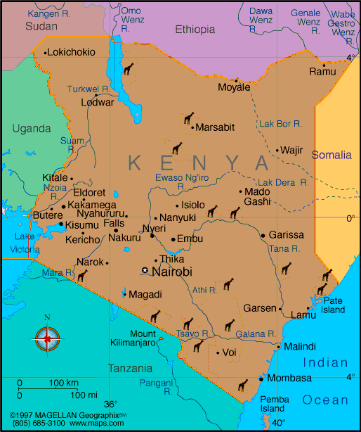
Map of Kenya
President:
Uhuru Kenyatta (2013)
Deputy President:
William Ruto (2013)
Land area: 219,788 sq mi (569,251 sq km);
total area: 224,961 sq mi (582,650 sq km)
Population (2014 est.): 45,010,056 (growth
rate: 2.11%); birth rate: 28.27/1000; infant mortality rate: 40.71/1000;
life expectancy: 63.52
Capital and largest city (2011 est.):
Nairobi, 3.363 million
Other large city:
Mombasa, 972,000
Monetary unit: Kenya
shilling
National
name: Jamhuri ya Kenya
Languages:
English (official), Kiswahili (national), and
numerous indigenous languages
Ethnicity/race:
Kikuyu 22%; Luhya 14%; Luo 13%; Kalenjin 12%;
Kamba 11%; Kisii 6%; Meru 6%; other African 15%; Asian, European, and
Arab 1%
Religions:
Christian 82.5% (Protestant 47.4%, Catholic 23.3%, other
11.8%), Muslim 11.1%, Traditionalists 1.6%, other 1.7%, none 2.4%,
unspecified 0.7% (2009 census)
National Holiday:
Independence Day, December 12
Literacy rate: 87.4% (2010 est.)
Economic summary: GDP/PPP (2013 est.):
$79.9 billion; per capita $1,800. Real growth rate: 5.1%.
Inflation: 5.8%. Unemployment: 40% (2008 est.).
Arable land: 9.48%. Agriculture: tea, coffee, corn, wheat,
sugarcane, fruit, vegetables; dairy products, beef, pork, poultry,
eggs. Labor force: 19.3679 million; agriculture 75%, industry and
services 25% (2007 est.). Industries: small-scale consumer
goods (plastic, furniture, batteries, textiles, soap, cigarettes,
flour), agricultural products, oil refining; aluminum, steel, lead;
cement, commercial ship repair, tourism. Natural resources:
limestone, soda ash, salt, gemstones, fluorspar, zinc, diatomite,
gypsum, wildlife, hydropower. Exports: $6.58 billion (2013 est.): tea, horticultural products, coffee, petroleum products,
fish, cement. Imports: $15.86 billion (2013 est.):
machinery and transportation equipment, petroleum products, motor
vehicles, iron and steel, resins and plastics. Major trading
partners: Uganda, UK, U.S., Netherlands, Tanzania,
UAE, Saudi Arabia, Egypt, India, China, Congo
Member of Commonwealth of Nations
Communications: Telephones: main
lines in use: 251,600 (2012); mobile cellular: 30.732 million (2012).
Broadcast media: about a half-dozen
large-scale privately owned media companies with TV and radio stations
as well as a state-owned TV broadcaster provide service nation-wide;
satellite and cable TV subscription services available; state-owned
radio broadcaster operates 2 national radio channels and provides
regional and local radio services in multiple languages; a large number
of private radio stations broadcast on a national level along with over
100 private and non-profit provincial stations broadcasting in local
languages; transmissions of several international broadcasters available
(2014).
Internet Service Providers (ISPs): 71,018 (2010). Internet
users: 3.996 million (2009).
Transportation: Railways: total: 2,066 km
(2008). Roadways: total: 160,878 km; paved: 11,189 km; unpaved:
149,689 km (2008). Waterways: none
specifically (the only significant inland waterway in the country is the
part of Lake Victoria within the boundaries of Kenya; Kisumu is the
main port and has ferry connections to Uganda and Tanzania) (2011). Ports and terminals: Kisumu, Mombasa. Airports: 197 (2013).
International disputes:
Kenya served as an important mediator in brokering Sudan's north-south
separation in February 2005; Kenya provides shelter to an estimated 550
million refugees, including Ugandans who flee across the border
periodically to seek protection from Lord's Resistance Army rebels;
Kenya works hard to prevent the clan and militia fighting in Somalia
from spreading across the border, which has long been open to nomadic
pastoralists; the boundary that separates Kenya's and Sudan's
sovereignty is unclear in the "Ilemi Triangle," which Kenya has
administered since colonial times.
-------------------- o --------------------
No comments:
Post a Comment